Giro della Guerra
- Distance: 9 km
- Difference in height: 750 m
- Maximum altitude: 2346 m a.s.l.
- Time for hikers: 3h30m - 4h
- Time for runners: 2h30m - 3h
- Road surface: Trail
- Difficulties: Medium
[To download the GPX track, right-click here and select “Save As…”]
Trail description
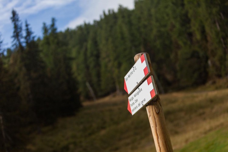
From Malga Ces, go up along the ski slope for about 300 meters. On the right, a well marked footpath leads on the steep Cavallazza crest, and after an easy passage between the rocks, the trail reaches two beautiful alpine lakes. A short distance from the little Colbricon hut, the pretty steep and sometimes broken down path to cima Cavallazza starts, and gets almost to the top of the peak (a little deviation to the summit is highly suggested because of the stunning view). After a short descent, you will reach a saddle, where you will find the indications to Rolle Pass. Walking along the path, in the surroundings of the beautiful Cavallazza lake, you will get to the Fiamme Gialle slope: follow the slope and get to the starting point of the Paradiso chairlift, where the trail to Colbricon lakes and Malga Ces starts.
Interesting Aspects
The trail presents several proofs and ruins from the first World War and runs along alpine meadows and sparse vegetation, the reign of the black grouse. In this area is not rare to see grazing chamois.
Besides the very famous Colbricon lakes, the path reaches also the less known but equally enchanting Cavallazza lake. From the saddle of Cavallazza, the top of the little Cavallazza deserves a visit, the rests and the ruins of the italian front offer a beautiful panorama on the Pale di San Martino.