
Trail Carrozzabile
- Distance: 3,9 km
- Difference in height: 90 m
- Maximum altitude: 1670 m a.s.l.
- Time for hikers: 1h
- Time for runners: 40m
- Road surface: Trail and dirt road
- Difficulties: Easy
[To download the GPX track, right-click here and select “Save As…”]
Trail Description
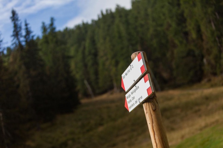
From the Caserota, the little wooden chalet of Malga Ces, get to San Martino di Castrozza on a beautiful path through the forest. Once you reach the forestry road of Valcigolera, turn left and follow the indications to Seggiovia Punta Ces (chairlift station): at the paved road, turn left again, at a distance of about 30 meters, follow the old mule track.
Once on this track, you will get to the forestry road which leads to the Orti Forestali. Just a few steps ahead, turn left to get back on the path to Malga Ces.
Interesting Aspects
This trail, recently fixed to become an easy route to cover with wheelchairs or baby buggies, is the perfect itinerary for families with children and people with physical disabilities. The path offers the possibility to visit the beautiful and untouched natural environment and permits to observe two rock caverns, possible shelters for the soldiers during the first World War.