
Ces Trail
- Distance: 18,2 km
- Difference in height: 1150 m
- Maximum altitude: 1920 m a.s.l.
- Time for hikers: 4h30m - 5h
- Time for runners: 3h30m - 4h
- Road surface: Trail
- Difficulties: Challenging
[to download the GPX track, right-click here and select “Save As…”]
Trail Description
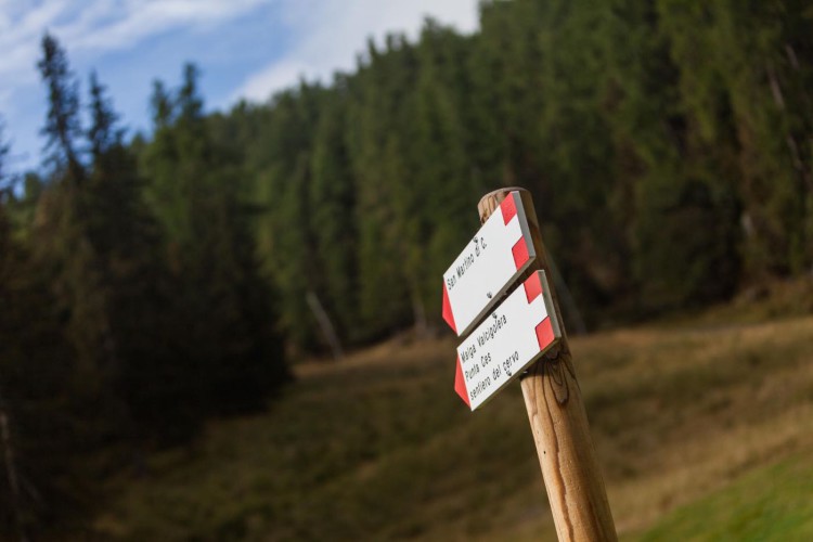
From the Caserota, the little wooden chalet of Malga Ces, get to San Martino di Castrozza on a beautiful path through the forest; on the Valcigolera path, follow the indications to San Martino until the crossroads. Here, turn right and walk along the forestry road to the Rio Cigolera bridge. Just before the bridge, the Heidi path starts and leads straight to Malga Cigolera.
From the Malga, go up for about 200 – 300 meters on the ski slope and the take the path Sentiero della Pace; follow the indications heading to Malga Ces to get to the Rekord slope. Once on the slope, follow the indications on the right side of it and take the path Sentiero del Cervo which leads on a descent to Malga Ces.
From the Malga, take the path Sentiero del Cielo, and then at the crossroads with the track of Sentiero della Pace, take this last path. This trail leads to Colbricon pass and then to the Colbricon lakes. From here, descend to Malga Ces following the path underneath the Cavallazza, get up to the flatland of Piani della Cavallazza, and then get to Villa Pisoni heading to Malga Fosse di Sotto. From here, get back to Malga Ces walking across the Orti Forestali.
Interesting Aspects
This trail has been created for the runners who love long distances and ascents in succession: the ideal mountain trail running training, with hte possibility to walk on unique panoramic routes on the Dolomites.