Giro del Colbricon
- Distance: 9,2 km
- Difference in height: 870 m
- Maximum altitude: 2526 m a.s.l.
- Time for hikers: 4h - 4h30m
- Time for runners: 3h - 3h30m
- Road surface: Trail
- Difficulties: Challenging
[To download the GPX track, right-click here and select “Save As…”]
Trail Description
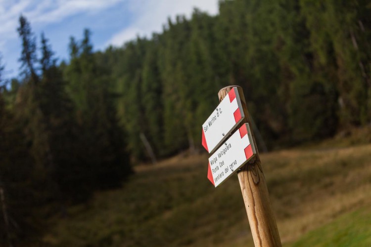
From the Parking area of Malga Ces, go up to the slope for about 500 meters to Pian delle Cartucce, where the old mule track to Colbricon Pass starts. Here starts the trail to the saddle of Forcella Ceremana, which crosses a wild land where the ruins of the first World War are still clearly visible. Reach the saddle of Colbricon (2420 meters), pass a hollow heading to Forcella Ceremana.
The section of the trail which precedes the saddle is equipped with a cable and permits to get to the pass safely. From here, descend to Punta Ces and be careful in the first part of the path. Walk along the first part of the Direttissima slope and get to the start of the Coston chairlift. From here, continue on the first easy section of the Rekord slope, and follow the path Sentiero del Cervo to get back to Malga Ces.
Interesting Aspects
This trail partially runs along the italian front of the World War and reaches important historical spots. On the route, several ruins of fortifications and foxholes are clearly visible, most of all in the surroundings of Forcella Ceremana, where several shacks where built by the soldiers to find shelter during the hard winter.
This trail gives the possibility to visit different habitats, from the spruce fir woods to the high altitude scree. It is not rare to see a golden eagle spinning in the sky, or to hear a whistling marmot during the trail.