
Malga Colbricon
- Distance: 6,6 km
- Difference in height: 380 m
- Maximum altitude: 1890 m a.s.l.
- Time for hikers: 3h - 3h30m
- Time for runners: 1h40m
- Road surface: Trail
- Difficulties: Easy
[To download the GPX track, right-click here and select “Save As…”]
Trail Description
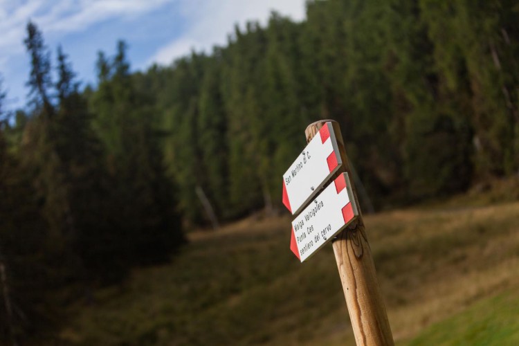
From Malga Ces, go up along the ski slope for about 300 meters. On the right, a well marked footpath leads on the steep Cavallazza crest, and after an easy passage between the rocks, the trail reaches two beautiful alpine lakes. This enchanting dolomitic spot, with a typical mountain hut is a very visited place during the Summer. after a break at the Colbricon hut, take the path which bypasses the biggest lake and leads to Colbricon pass. From here, follow the indications along the level trail to reach the beautiful basin of Malga Colbricon. To get back to Malga Ces, follow backwards the path to the Pass, and then along the track which runs along the Colbricon slopes.
Interesting Aspects
This beautiful trail permits to walk along the biggest one of the Colbricon lakes. Nearby the Colbricon Pass, it is possible to visit some tunnels of the first World War. During the War, this passage has been a strategic point for the military operations because it permitted an easy communication between the two valleys of Primiero and Fiemme.
From Malga Colbricon offers a incomparable view on the mountain range of the Pale di San Martino. The nearby Buse dell’oro gives the possibility to extend the trail to visit the well mantained ruins of the World War tunnels created by the austrian troops.