
Malga Tognola
- Distance: 13,1 km
- Difference in height: 536 m
- Maximum altitude: 2022 m a.s.l.
- Time for hikers: 3h30m - 4h
- Time for runners: 2h30m
- Road surface: Trail
- Difficulties: Easy
[To download the GPX track, right-click here and select “Save As…”]
Trail Description
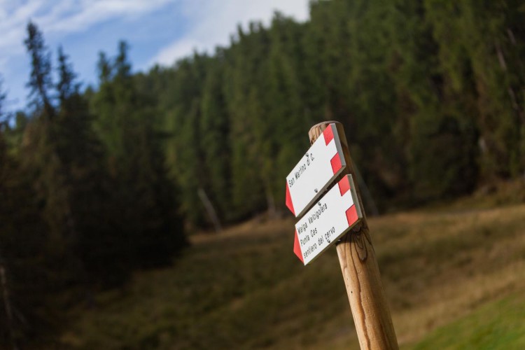
From the Caserota, the little wooden chalet of Malga Ces, get to San Martino di Castrozza on a beautiful path through the forest; on the Valcigolera path, follow the indications to San Martino until the crossroads. Here, turn right and walk along the forestry road to the Rio Cigolera bridge.
From here, follow the indications to Malga Tognola along the forestry road which crosses sometimes the Tognola slopes, to reach the hut. After a break at Malga Tognola, go down the Rododendro slope to the starting point of the namesake chairlift.
Take the beautiful path of Sentiero della Pace which leads to Malga Cigolera: from the Malga, close the loop of the trail walking down the Sentiero della Pace heading to Malga Ces.
Interesting Aspects
The Sentiero della Pace connects Malga Cigolera to Malga Tognola and it is one of the most charming trail of this area. It permits to catch beautiful glimpses of the Pale di San Martino, remainsing always at the same altitude: for this reason it is not very demanding and can be easily completed also by not trained hikers.