
Giro degli Orti Forestali
- Distance: 6 Km
- Difference in height: 304 m
- Maximum altitude: 1700 m a.s.l.
- Time for hikers: 1h45m
- Time for runners: 1h15m
- Road surface: Trail and dirt road
- Difficulties: Easy
[To download the GPX track, right-click here and select “Save As…”]
Trail Description
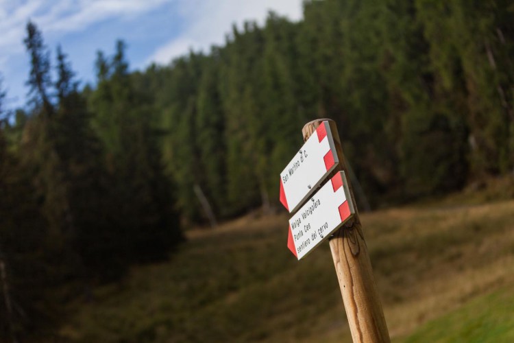
From the Parking area of Malga Ces, follow the path to Orti Forestali. After a short walk, the path enters to the easy forestry road which leads straight to the Orti Forestali.
From here, go down the path to the pasture of the ancient ruins of Malga Fosse di Sotto, and then descend to the forestry path which runs along the Cismon stream and then leads to the first houses of San Martino. At the first crossroads, turn right and then go up on a steep path to get once again to the Orti Forestali, and then continuing on the same trail back to Malga Ces.
Interesting Aspects
The trail runs mostly through spruce fir woods, the natural habitat of beautiful animals such as the wood grouse and the hazel grouse, very hard to observe. At an higher altitude just over the woods, the environment is characterised by larches, wide pastures and screes, the ideal natural habitat of the black grouse and the rock partridge.
The Cismon stream, which the path runs along, is the typical alpine stream, with very pure waters and wild banks. The ruins of the ancient pasture of Malga fosse di Sotto are the proof of the rural life which has been recently abandoned.
The Orti Forestali were ancient botanical nursery areas at a medium altitude at the time of the House of Hapsburg reign, while today these green sweep shows some old little walls among the vegetation.