
Giro dei Finanzieri
- Distance: 14,4 km
- Difference in height: 1040 m
- Maximum altitude: 2232 m a.s.l.
- Time for hikers: 4h - 4h30m
- Time for runners: 3h20m
- Road surface: Trail
- Difficulties: Challenging
[To download the GPX track, right-click here and select “Save As…”]
Trail Description
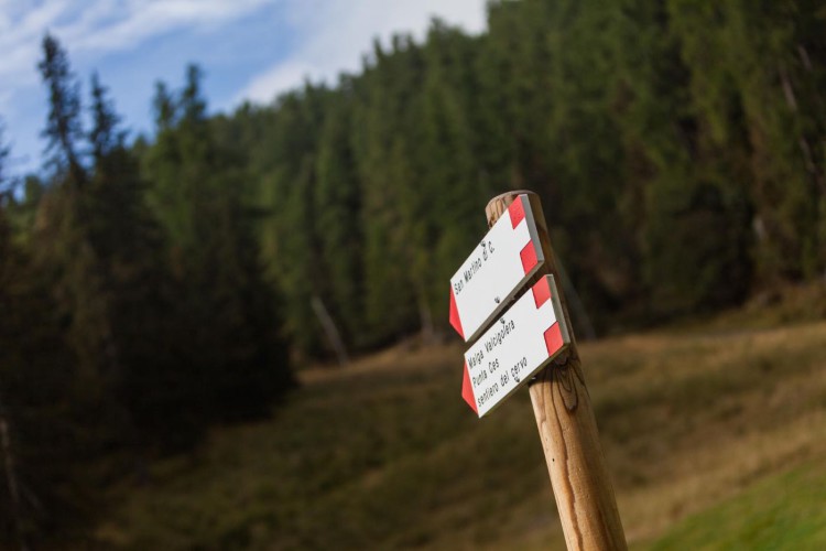
From the Parking area of Malga Ces, follow the indications to Piani della Cavallazza, just after a short walk you will find a crossroads, follow the very steep rising path which becomes a level one only in proximity to the flatland of the Cavallazza. The trail continues on the panoramic crest, and after a little descent, follow the indications to Passo Rolle. Cross the Cavallazza plateau, and after a short descent, get to Busa bella.
Get to Malga Fosse, where starts the path Sentiero dei Finanzieri which crosses the scree of the Cimon della Pala and leads to the peak of Croda Rossa. Follow the track and get to the crossorads where you will find the road sign to get to Colverde hut. From the hut, follow the path to Malga Pala, which will lead you to the track of the Sentiero del cacciatore. On the trail you will find the indications to San Martino; from here, through the Orti forestali path, you will reach Malga Ces.
Interesting Aspects
This beautiful route permits to enjoy the magnificent view of Cimon della Pala, the western side of the Pale di San Martino and the unique geological structure of Crode Rosse. The habitats crossed by this path are the typically high altitude environments: here the flora shows the characteristic shape developed to resist the rigid climate.
During the short summer season, beautiful blooming also of very rare species can be observed. The grazing chamois are not that hard to see, while the performance of the steinbocks jumping on the rocks, the flight of the rock ptarmigans or of a flock of rock patridges are more rare to enjoy.