
Piani della Cavallazza
- Distance: 6,4 km
- Difference in height: 410 m
- Maximum altitude: 1923 m a.s.l.
- Time for hikers: 2h30m - 3h
- Time for runners: 1h30m
- Road surface: Trail and dirt road
- Difficulties: Medium
[To download the GPX track, right-click here and select “Save As…”]
Trail Description
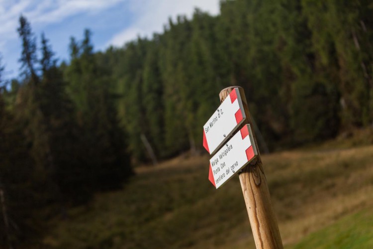
From the Parking area of Malga Ces, follow the indications to Piani della Cavallazza, just after a short walk you will find a crossroads, follow the very steep rising path which becomes a level one only in proximity to the flat area of the Cavallazza.
The path continues on the edge of this area (it is possible to have a short rest on a bench in the panoramic spots), and after a short descent (be careful in case of wet path), follow the signs to San Martino. After an easy descending trail, you will reach Villa Pisoni and the path near Malga Fosse di Sotto, which will lead you to the Orti Forestali and then to Malga Ces.
Interesting aspects
The path goes through dense spruce fir woods, and permits to discover the alpine meadows and the small bush areas, the natural habitat of the wood grouse and the hazel grouse. The Piani della Cavallazza are a beautiful panoramic spot to observe the chamois; the highest part of the path goes through two peat bogs.
At the end of the first ascend, the top on the right is definitely the best panoramic spot of San Martino di Castrozza.