
Laghi di Colbricon
- Distance: 3,8 km
- Difference in height: 260 m
- Maximum altitude: 1890 m a.s.l.
- Time for hikers: 2 h
- Time for runners: 1h - 1h15m
- Road surface: Trail
- Difficulties: Easy
[To download the GPX track, right-click here and select “Save As…”]
Trail Description
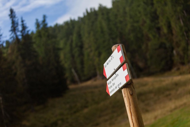
From Malga Ces, go up along the ski slope for about 300 meters. On the right, a well marked footpath leads on the steep Cavallazza crest, and after an easy passage between the rocks, the trail reaches two beautiful alpine lakes. This enchanting dolomitic spot, with a typical mountain hut is a very visited place during the Summer: after a break at the Colbricon hut, take the path which bypasses the biggest lake and leads to Colbricon pass. From here, follow the indications along the trail to reach Pian delle Cartucce and then to Malga Ces.
Interesting Aspects
This beautiful trail, very relevant in terms of landscape, nature and history, goes through the woods to a medium altitude, where the last larches meet the first rhododendrons and pine needles. Here lives the black grouse, an animal which is sometimes possible to see in the surroundings: more often, at an higher altitude, sometimes the grazing chamois show up to the careful walker. In the surroundings of the two Colbricon lakes, in 1971 some evidences of a mesolithic village have been discovered by Gianluigi Secco during his fishing session on the bigger lake: the strange piece of rock found by chance has then been recognised as a flinty sliver by an expert of the regional Natural Sciences Museum, the first proof of the presence at that altitude of some mesolithic hunters. In the surroundings of Colbricon Pass some tracks of the first World War are visible.