
Running Ces
- Distance: 3,9 km
- Difference in height: 90 m
- Maximum altitude: 1670 m a.s.l.
- Time for hikers: 1h
- Time for runners: 40m
- Road surface: Trail and dirt road
- Difficulties: Easy
[To download the GPX track, right-click here and select “Save As…”]
Trail Description
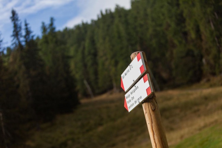
From the Caserota, the little wooden chalet of Malga Ces, get to San Martino di Castrozza on a beautiful path through the forest. Once you reach the forestry road of Valcigolera, turn left and follow the indications to Seggiovia Punta Ces (chairlift station): at the paved road, turn left again, at a distance of about 30 meters, follow the old mule track.
Once on this track, you will get to the forestry road which leads to the Orti Forestali. Just a few steps ahead, turn left to get back on the path to Malga Ces. .
Interesting Aspects
Along the old mule track it is possible to observe two rock caverns, possible shelters for the soldiers during the first World War. This trail is a perfect training route and can be repeatedly covered both ways with changes of speed, for a beautiful training session performed in the nature.