
Punta Ces
- Distance: 5,4 km
- Difference in height: 540 m
- Maximum altitude: 2235 m a.s.l.
- Time for hikers: 2h - 2h30m
- Time for runners: 1h20m
- Road surface: Trail
- Difficulties: Medium
[To download the GPX track, right-click here and select “Save As…”]
Trail description
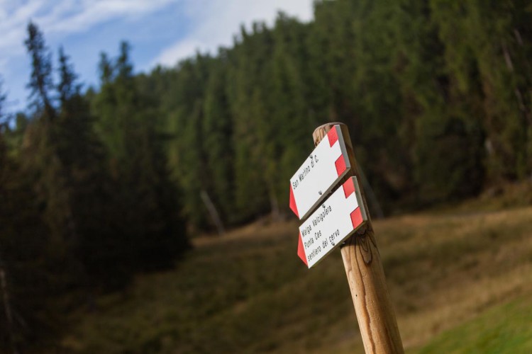
From the Caserota, the little wooden chalet of Malga Ces, take the underlying Punta Ces-Sentiero del Cervo: this trail rises on soft declines to the crest which divides two valleys, the Valbonetta and the Valcigolera.
In its final section, the path follows the crest and offers in its higher point the most amazing landscape of San Martino di Castrozza.
From here, follow the slight slope and get to the start of the Coston chairlift; pass the chairlift and take on the right the steep path which leads to the Direttissima slope.
Go up the slope to get to Punta Ces hut, one of the most panoramic spot of the entire area. To come back to Malga Ces and close the loop, walk down the Colbricon slope.
Interesting Aspects
This trail permits to explore the environment and walk through conifer woods, the rhododendrons and the creeping pines, from the dolomitic pebble to the high-altitude icy dells. Chamois and marmots can be easily observed, such as the black grouse in its natural habitat. Punta Ces is the real balcony on the Dolomites, one of the most panoramic spots of this area. From here, the overlook on the magnificent landscape of Pale di San Martino and heading to north-east, on the massif of Marmolada is a show not to miss.