Giro della Cavallazza
- Distance: 10 km
- Difference in height: 584 m
- Maximum altitude: 2054 m a.s.l.
- Time for hikers: 3h30m - 4h
- Time for runners: 2h30m
- Road surface: Trail
- Difficulties: Medium
[To download the GPX track, right-click here and select “Save As…”]
Trail Description
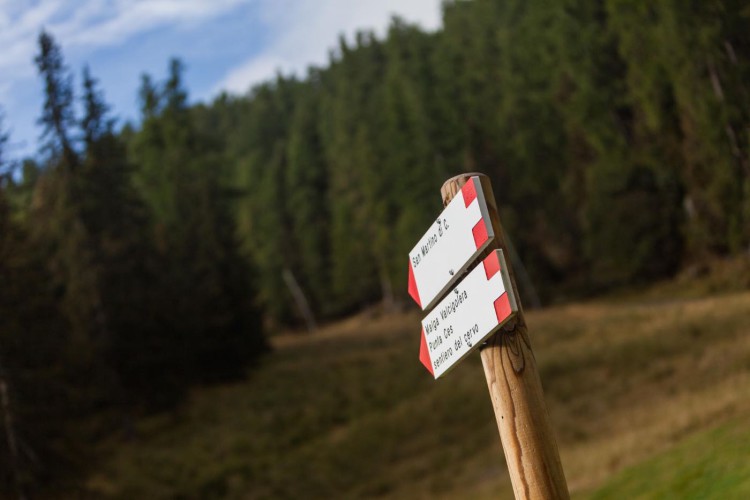
From the Parking area of Malga Ces, follow the indications to Piani della Cavallazza, just after a short walk you will find a crossroads, follow the very steep rising path which becomes a level one only in proximity to the flatland of the Cavallazza.
The trail continues on the panoramic crest, and after a little descent, gets to Passo Rolle. Cross the wide plateau following the track which lies in the middle, and then get down to the path to Busa Bella. From here, go down to Passo Rolle. At the starting point of the Cimon chairlift go down the Cimon slope to reach the La Baita Bar, next to the Paradiso chairlift. Here, after the little bridge, starts the path which leads to the Colbricon lakes and then to Malga Ces.
Interesting Aspects
Beautiful trail in terms of landscape and nature, which permits to discover the amazing nature, from the conifer woods to the shrubs and alpine meadows, which enliven the entire trail. Here the live the black grouse and the rock patridge. In the first part of the trail we reach the enchanting spot of the Colbricon lakes, very rich in hsorty because of the mesolithic finds. Also the peat bogs give the possibility to explore and experience the wild nature.